AN ORBITAL RING · 300 KM ABOVE THE PACIFIC, OFF SAN FRANCISCO
Up to the ring.
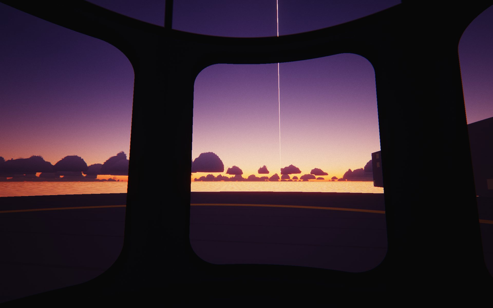
A ring circles the Earth 300 km up, and cables hang from it to the sea. Ride one up at dawn, through the clouds and out of the blue. Then travel along the ring, and ride down somewhere else.
Fifteen minutes from the sea to the ring, shown five times faster. Look anywhere, pause, speed up. Best on a desktop; works on phones.
Altitude
22 m
Speed
standing
You weigh
100%
Air
100%
Ride
00:00
At the platform
05:30
Ring · 300 kmKármán line · 100Black sky · 50Weather ends · 12CloudsSea
STILLS
Go to a height.
The car goes there and waits. Press Play to carry on.
CONTROLS
Sit back.
Drag · arrows
Look around the car.
Wheel · pinch
Zoom in and out.
R
Let the view follow the ride again.
Space
Pause.
1 · 2 · 3
Real time, five times, twenty times.
P
Take a photograph. There are twelve on the roll.
A · S · D · N
At the top: travel west, stop, travel east, or go on to the next station. There is a station with a cable every 15° round the ring; ride down any that lands on water.
H
Hide everything but the window.
Picture
Auto lowers the resolution when your device struggles. Light is for phones and older laptops.
ABOUT
A ring around the Earth.
In 1982 Paul Birch described an orbital ring: a heavy cable looping the Earth in low orbit, moving faster than orbital speed, so it pushes outward and can hold things up. Stations ride on it, held by magnets, and stay over one spot on the ground. Cables hang from them to the surface. Cars climb the cables.
I wanted to take that ride. Not look at a diagram. Sit in the car at dawn, watch the sky change, and arrive.
At the top you can travel along the ring. There is a station every 15° round the ring, 24 in all, each with its cable to the surface. Ride down any of them that comes down on water.
What’s worked out
The sky. Its colour at each height comes from how air and haze scatter sunlight, computed for every pixel. Nobody painted the blue going away.
The geometry. At 300 km the horizon drops 17° and is about 1,900 km away: you can see from Vancouver Island to Baja California, and east past Salt Lake City. The coastlines, towns, bays and the other stations are labelled where you can see them, and the labels fade with distance.
The ride. The car speeds up at 1 m/s², the gentle rate Birch suggested for passengers, to about 670 m/s, then brakes for the last 75 km. Sea to ring in 14 minutes 54 seconds.
Your weight. 110% while the car speeds up, about 60% while it brakes, 91% at the station, because gravity 300 km up is 91% of what it is at the sea. Travel along the ring and you get lighter: at 4 km/s about 60% going east and 70% going west, because going east adds to the Earth’s spin.
The Sun, placed for today’s date and for where you are. The coastlines, lakes and towns are real; the colours of the land are approximate.
What I made up
The platform, the car with its glass roof, the stations and the cables. Birch’s papers describe the physics, not what any of it looks like, or where the stations go.
The beacons along the ring, so you can trace it across a twilight sky. At dawn sunlight only grazes its underside.
Where the ring runs. Birch’s worked examples sit over the equator, but his papers allow rings at an angle to it. This one is tilted 37.45° so that its northernmost point is over the Pacific about 30 km off Half Moon Bay, where the first platform floats; there the ring runs due east and west. From there it crosses New Mexico and Alabama, the Atlantic, South Africa, the Indian Ocean and northwest Australia, and comes back over the Pacific north of Hawaii. A ring this tilted would need steering against the slow twist that the Earth’s equatorial bulge gives any tilted orbit.
The 24 stations, one every 15° round the ring, and the gallery pod that carries you between them at up to 4 km/s.
The ring’s 12 m casing. Birch’s worked examples are rings about 2 m across. One of his variants wraps the ring in a stationary sheath; I drew one 12 m wide so you could see it. Far away it is drawn a little wider than it would look, so you can follow it to the horizon.
The braking, the weather and the clouds. Each cumulus is a few rounded shapes roughened with noise; nothing comes from satellite pictures.
Sources
Paul Birch, “Orbital Ring Systems and Jacob’s Ladders” I–III, Journal of the British Interplanetary Society 35–36 (1982); scan at the National Space Society. He used 300 km and 600 km as typical heights. Coastlines, lakes, towns and regions from Natural Earth (public domain). The sky follows Sébastien Hillaire’s 2020 atmosphere model and Bruneton and Neyret (2008).
Made by San Kala. Every frame is drawn in your browser, in code: no photographs. The look is 1960s colour slide film through a capsule window. Films from the same corner of my head are on Paper Robots. More places we could build ↗ · Source